
We got up early on Sunday so we decided we would find a hike. We had been reading about a hike in the Norco Hills located less than 1.5 hours (83 miles) west of Palm Desert. 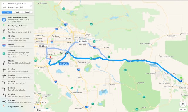
The hike brings you up to a giant rock painted like a pumpkin. What we didn’t know about the hike is that in addition to the pumpkin rock there is great 360 degree views for the whole hike. This was our first drive into this area and we were both impressed with the beautiful views as we drove up to Norco Hills. We have been in the desert for several weeks now so it was a treat to see the lush green grass and the beginnings of a spring bloom. We parked on the side of the street and started our hike at a sign for “Norco Hills”.
There was no information at the start of the hike about Pumpkin Rock, and we were really hoping that we were on the right trail. The trail starts out going straight up and you get your first views after the first few hundred feet on the trail.

Gizmo at the top of the first hill
We continued on the trail as it went up and down over hills. We were less than 1 mile into the hike when we got our first view of the pumpkin. We had actually approached the pumpkin from behind and hiked down to it.

Look close and you can see the back of the pumpkin
There are lots of interconnecting trails all over these hills and people were approaching the pumpkin from several different angles. We met lots of people on these trails and it is obvious that it is a highly hiked area. Unfortunately there is lots of graffiti on pumpkin rock and the other surrounding rocks.

Lots of graffiti and broken glass near rocks
This area is dog friendly but you will want to be very cautious of broken glass around the rocks, especially the pumpkin rock. I picked up Gizmo near pumpkin rock as there was just too much glass for him to safely walk in the area. Once away from the rocks and on the trails it is pretty clean.

I hear the pumpkin gets a fresh coat of paint each year for Halloween
John and I had looked at the interconnecting trails closely as we hiked out to the pumpkin, as we were planning to make this a loop hike. You could just hike out and back in less than 2 miles. We continued on past the pumpkin and turned right and made our way through the valley.
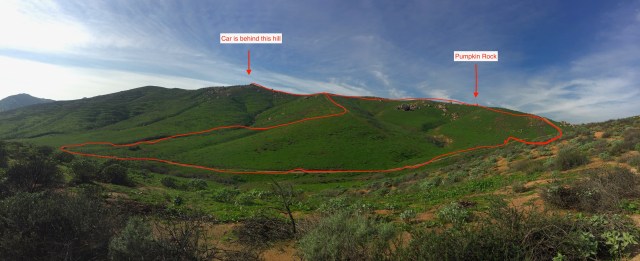
Rough sketch of our path. 2.5 miles and 650 feet of elevation gain
There is very little shade, so on warm sunny days it can get hot fast. You could hike for miles in this area if you connected trails.
This winter has been very wet for Southern California and this area is showing signs that there is going to be a very healthy spring bloom. 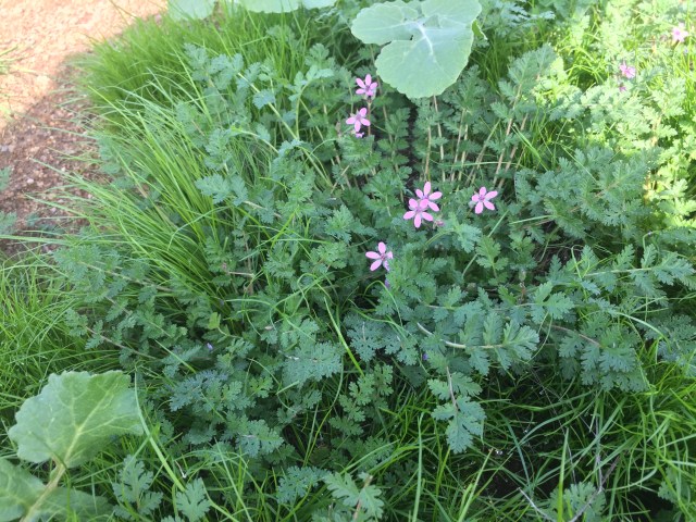
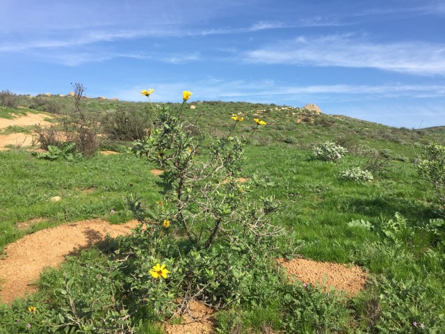
I believe this is Brittle-bush. This area is going to be carpeted in yellow blooms in the next few weeks.
The three of us thoroughly enjoyed the hike. It was scenic, a good quad workout on the steep climbs and we got a picture with a cool pumpkin rock.
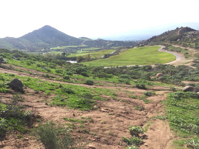
View towards the golf course as we were returning to the car
Link to Garmin Route: https://connect.garmin.com/modern/activity/1527472009

Pingback: The End of the Journey West and the Beginning of the Journey East | gizmogoeswest