
Taking time to enjoy the colors in this canyon
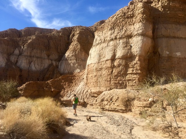
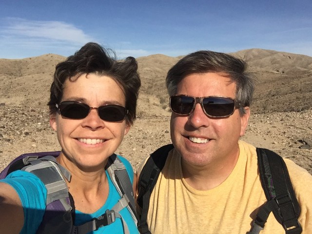
Today we decided to take a break from Pickleball and get a hike in. It is a bit more of a challenge to find a “dog friendly” hike here in Palm Springs than it was in Las Vegas or Cottonwood. We chose a canyon hike in the Mecca hills for our first adventure. The canyon hikes here are very different than the mountain hikes we are accustomed to back home. The hike today had no “official trail” meaning there were no official cairns or markers. You need to follow directions found in a guidebook or online that use landmarks (like trees) to take you through the canyons. It took us a while last year to get used to this type of hiking. We prefer to hike in canyons vs up exposed hills/mountains when it is warm and sunny. Gizmo cannot tolerate the sun beating down on him for miles, and the canyon walls provide at least intermittent shade.
The hike for today was called “Big Utah Canyon” in our guidebook because of the similarity to Utah Canyons. The trailhead is located on the Box Canyon Road about 5 miles past the “Painted Canyon” sign. If you get to the Sheep Hole Oasis parking area, you have gone too far by a few hundred yards. You need to park on the left side of the road, you will see the wash coming out towards the road. Shortly after leaving the car you will see a metal marker that says “wilderness”. You start to hike by heading left behind the big trees.
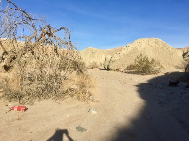
Start of the hike- bear left behind all the big trees. Not sure why there is a fire extinguisher here…
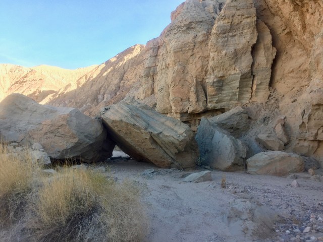
At 0.3 miles you will come to some large broken boulders that you will need to go around, unless you are a shih tzu, in which case you can go through.
check out the lines on these rocks
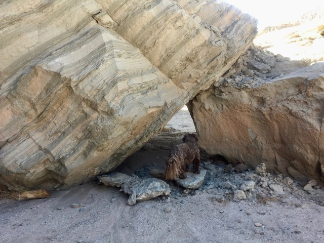
Gizmo sees his path
The beauty of this hike for us was taking the time to enjoy the colors and details of the rocks. This shouldn’t be a hike to rush through. There is a lot to appreciate if you go slow.
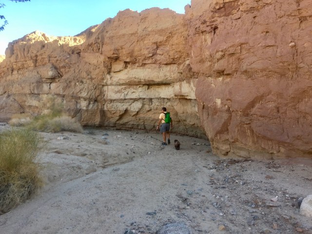
See how the red rock has dripped down across the lighter colored rock.

Love the patterns that are created from the sandstone dripping down the walls
At approximately 1.15 miles you will come to a small pile of white and brown crumbled rocks, followed shortly thereafter by a cairn. You will bear left here.

White & Brown Crumbled Rock

Cairn shortly after rocks- bear left here

This is where you go left
There is a huge Palo Verde tree guarding the entrance to the next part of the canyon. 
This section of the hike contains lots of desert lavender. It was full of butterflies and bees while we were hiking. I couldn’t help but run my hand over them as I passed by to release the intoxicating scent.

Desert Lavender
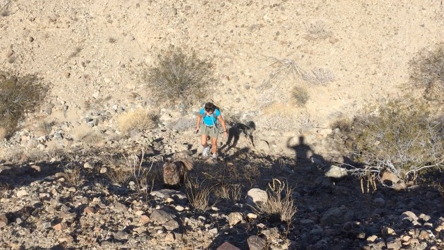
You will continue meandering through the canyon until you get to about 1.6 miles. At this point you will make a 90 degree turn to the right. The footing gets a little rougher after this right hand turn.

Footing is rougher- you can see you are higher up in the canyon- look for a path to climb out to the right for a view.
Our guidebook told us to hike about 0.25 miles after the right turn, but we chose to hike up the hill on the right about 0.1 miles from that right hand turn. It is a steep climb with small loose rocks, but is easily done by anyone if you take your time.
Gizmo taking the lead up out of the canyon
When we reached the top of the ridgeline we found a cairn.
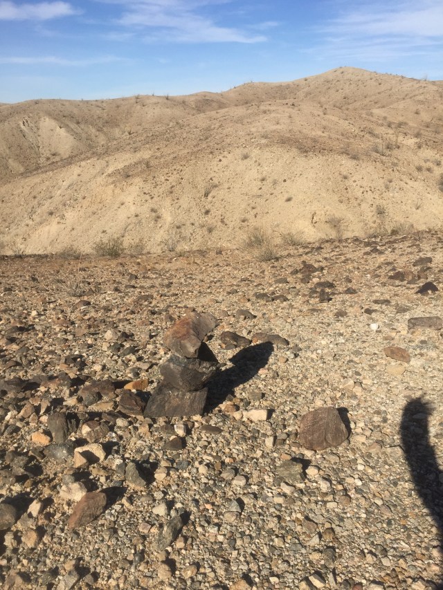
This is looking back at where we climbed out of the canyon- we found a cairn at the ridge line
We used this marker to find our way back into the canyon on the return hike. We turned right at the top of the ridgeline and walked a few hundred yards to get excellent views of the Salton Sea and the surrounding mountains.
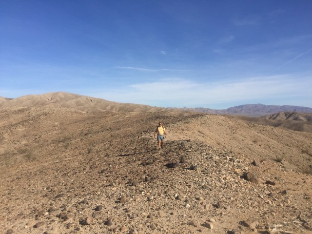
The walk along the ridgeline to the best view point.
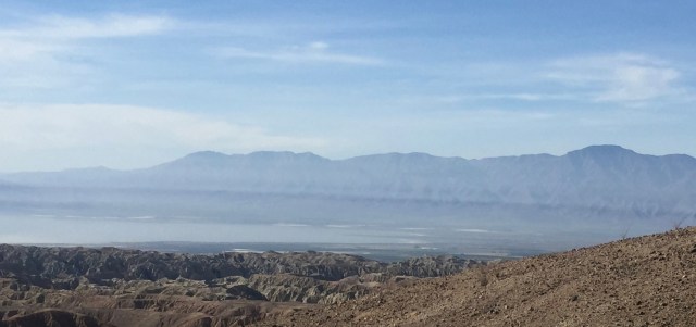
Salton Sea and Mountains all around.
