
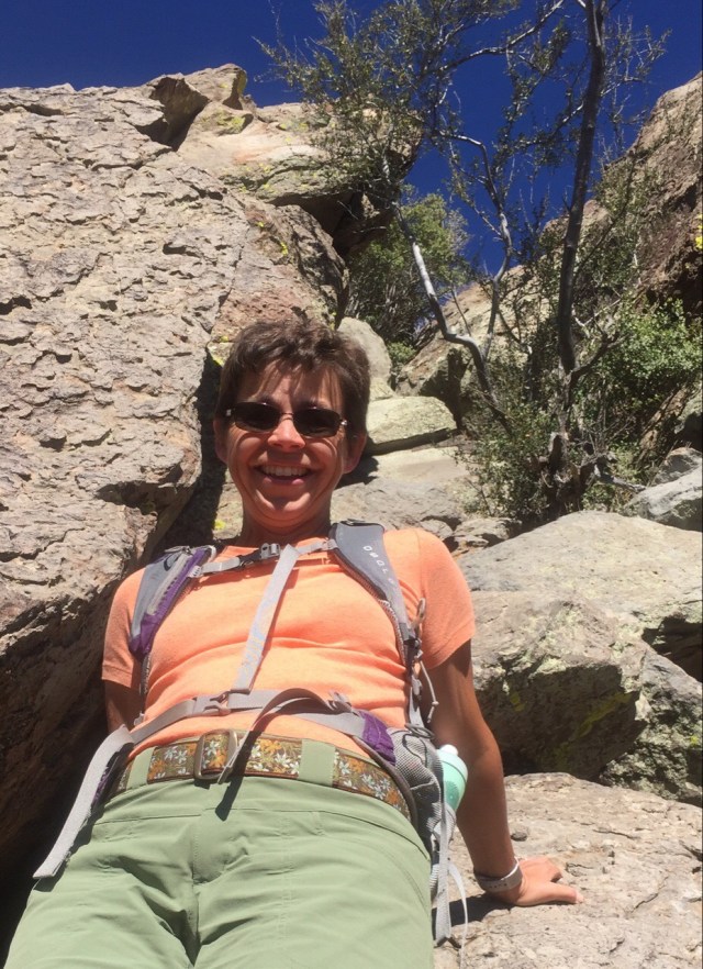
We are continuing to have a great time in Cottonwood. We have had more pickle ball players arrive at the campground and now we have 12+ people playing each morning. Playing pickle ball has allowed us to meet so many more really great people than we did last year. We were invited to share Thanksgiving with the people we have been playing pickle ball with. Wow, what a spread they put on.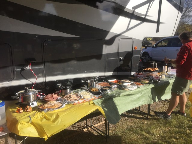 It was one of the best Thanksgivings we have had. It was really nice to have it outside on picnic tables, that would never have happened in Maine. Our host even made cookies shaped like pickle ball rackets with our names on it as place settings!

Pickleball Cookie Place Settings
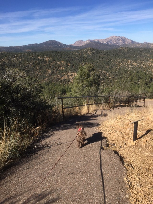
In addition to all of the fun we have had playing pickle ball we are still trying to get in at least 3 -4 hikes per week. Our first hike of this past week was back up in Sedona at Chimney Rock. It was a last minute decision to hike this one, and I am really glad we did. I think it might be our favorite Sedona hike yet. We followed the advice of our hiking book and hiked the loop “clockwise” since it was afternoon and this would keep the sun at our backs. In the morning you would want to hike it counter clockwise.
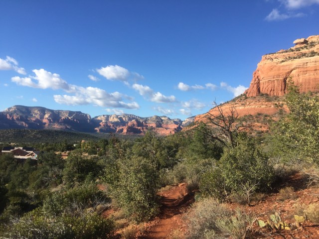
Look how close some of the houses are to the trail! Love the how the red rock contrasts with the green vegetation
The hike is about 2.25 miles long with about 550 feet of elevation. The hike takes you around a rock shaped like a chimney and then about 2/3 of the way around you take a side trail up to the base of the chimney. The views from the top are stunning.
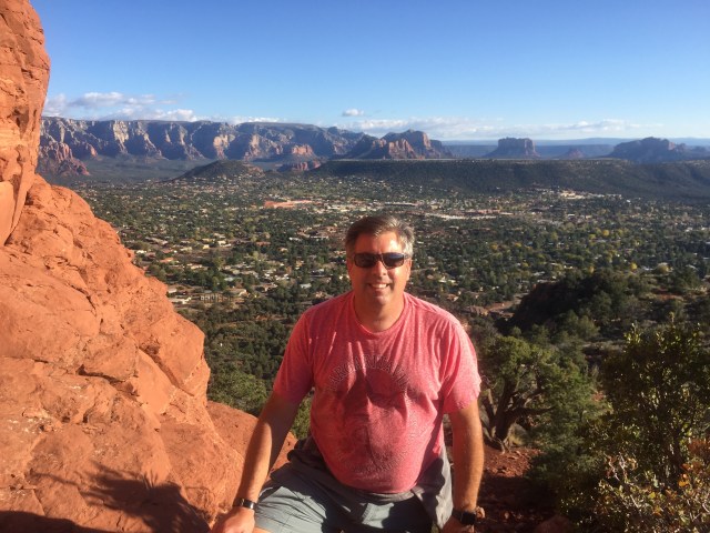
Looking down at Sedona and across to the airport
Living in this area must be amazing since hiking trails are literally right outside your door. We walked by several houses and looked down at the town from the trail.
On Wednesday we needed to go to Prescott to do our weekly shopping at Trader Joes and Sprouts. We found a hike up Thumb Butte online that we wanted to check out. The Butte is a local landmark that you can see from downtown Prescott.
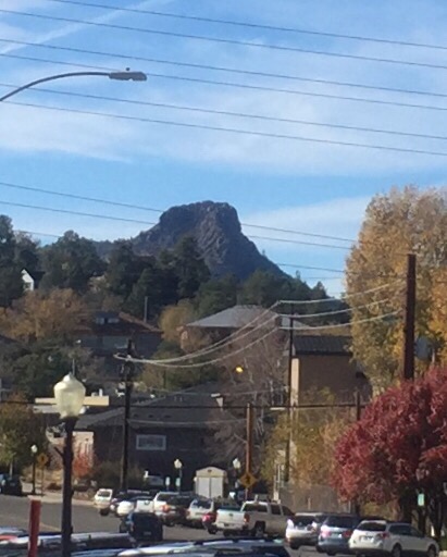
Thumb Butte as seen from Prescott
We could see our destination for miles before we arrived at it and wondered how we would be able to hike up it. The trail is obviously one of the most popular in the area and there is a huge parking lot at the trail head. The signs at the start of the trail recommended doing the loop hike in a counter clockwise direction, so that’s what we did.

Trailhead sign-indicates to do this in a counter-clockwise direction
The hike up is gradual on a wide well maintained path with partial shade. Once the trail levels out there is a path on the right that leads you to a lookout with benches and maps that point out the views and mountains. When you return back to the main trail you will hike up to a junction where there is a monument to fallen firefighters.

Dedicated to fallen firefighters
The trail that goes straight ahead brings you back to the parking lot. The small trail to the right brings you further up the butte. The trail is pretty easy until the very last section. The last 200 feet would require a great deal of scrambling to make it to the very top of the butte.
It’s steeper than it looks- quite a scramble up the last bit
John and I decided that the view was good enough just below the summit. The hike down from the intersection where the monument is consists of paved switchbacks all the way to the parking lot.
Paved switchbacks on the way back down
I think they paved this section because of the steepness of the trail and to prevent erosion.
On Saturday we decided to head north to the mountains. There is supposed to be over 6 inches of snowfall here on Sunday so we figured this was our last chance to hike up near Flagstaff. We can see the San Francisco Peaks from our campground, so we already knew they had snow on them. We decided on a hike that would be low enough to not be icy but with great views.  We found the hike up Slate Mountain online and it sounded perfect, once you start hiking it, you can see how it got it’s name.

The mountain is covered with slate
The mountain is just under 30 miles north of Flagstaff. The hike is about 2.5 miles each way with just under 1000 feet of elevation and with great views most of the way.
Great views from the top
The trail switchbacks up the mountain and then spirals around the top, giving you great views in every direction.
Wide easy trail all the way
There are interpretive signs along the way pointing out the local plants.


I love this because we are not that familiar with the plants that grow here. You need to take a fire road to access the hike, the ride in was a bit rough since it had recently rained, but if you take it easy you could make it in any vehicle.
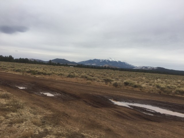
Just go slow and you can avoid most of the ruts-the ground was pretty solid from being frozen over night.
The hike starts around 7300 feet of elevation and ends around 8200 feet. We were both surprised when we spotted a tarantula at the top, especially with the temperatures in the 40’s.

Surprised to see this guy at the top at over 8200 feet with temps in the 40’s!
We took a quick snack break at the top and headed back down. The weather had started to make a dramatic change when we got to the top. The temperatures had started dropping and the wind was picking up as the upcoming storm started moving in. We made a quick trip back to the car and then drove the 1.5 hours back to Cottonwood.

Love following you, especially since we lived in Arizona for almost 5 years in the USAF + several visits back there over the years. You made the greatest decision in “Pre-tiring!”
Mary Lou Bailey
LikeLiked by 1 person
We will be spending time in Tucson in February
LikeLike
So much fun! Continue to keep me abreast😀
LikeLiked by 1 person
Pingback: The End of the Journey West and the Beginning of the Journey East | gizmogoeswest